
The Local newsletter is your free, daily guide to life in Colorado. For locals, by locals.
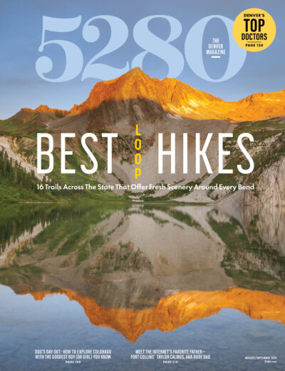
Out-and-backs are fine. Loops are better. They reveal fresh scenery around each bend, and every campsite is a new prize. These 13 backpacking trips—plus three close-to-home dayhikes—prove the best way through Colorado’s wilds is all the way around.
Download beta to your phone or GPS unit for each trip here.
Jump Ahead:
- Big D-Little D Loop, Dominguez Canyon Wilderness
- Boulder Double Bypass Loop, Indian Peaks Wilderness
- Bowen-Baker Loop, Never Summer Wilderness
- Collegiate Loop, Collegiate Peaks Wilderness
- Devils Causeway Loop, Flat Tops Wilderness
- Elk Park-Needleton Loop, Weminuche Wilderness
- Fancy Pass Loop, Holy Cross Wilderness
- Four Pass Loop, Maroon Bells-Snowmass Wilderness
- High Lonesome Loop, Indian Peaks Wilderness
- Lost Creek Wilderness Loop, Lost Creek Wilderness
- Three Pass Loop, Maroon Bells-Snowmass Wilderness
- Twin Crater-Rawah-Camp Lakes Loop, Rawah Wilderness
- Zirkel Circle, Mt. Zirkel Wilderness
Plus:
1. Lost Creek Wilderness Loop
Lost Creek Wilderness
- Distance: 29 miles (5,674 feet of elevation gain)
- Duration: 3 days
- Trailhead: Lost Park
- Season: May through November
- Permits: Required (free; self-issue at the trailhead)
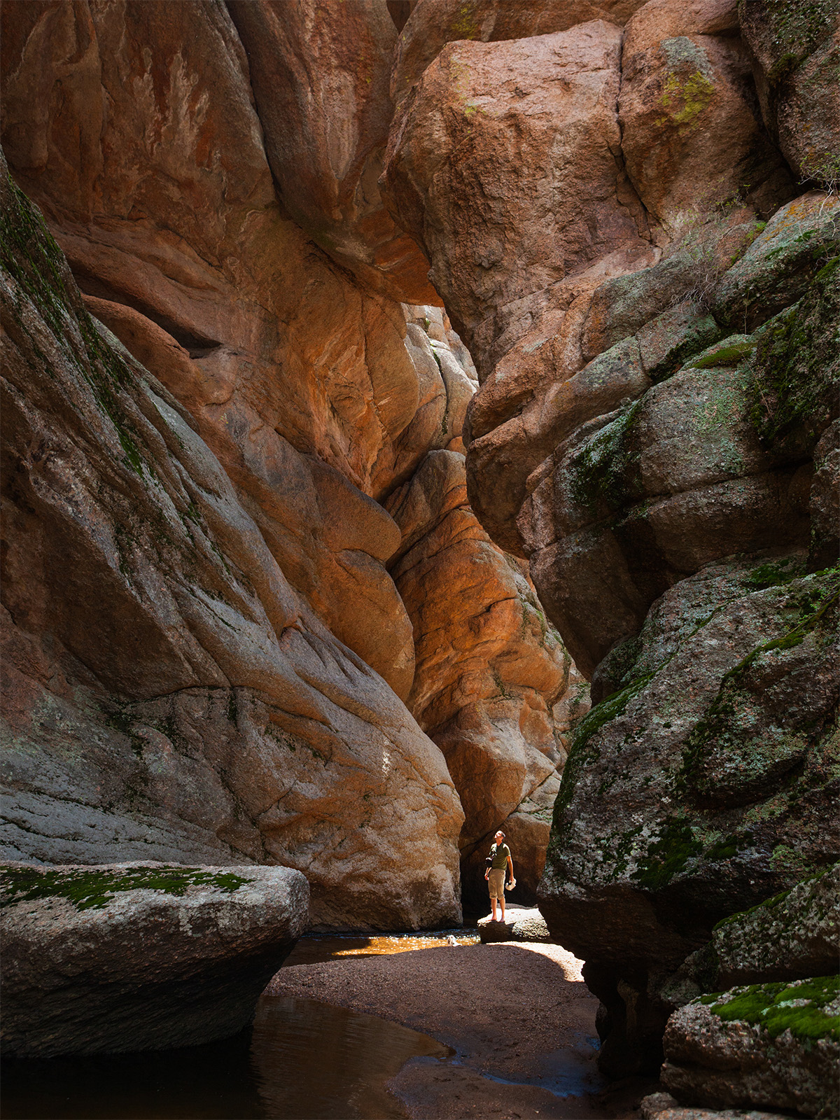
You’ve probably never heard of the Lost Creek Wilderness. With no fourteeners—or even thirteeners—it rarely cracks Colorado bucket lists. But it should. Here, trails thread between house-size granite monoliths and beneath ponderosas that perfume the afternoon air with vanilla before spilling into grassy parks where the namesake creek vanishes beneath jumbles of rock, only to reappear downstream. Better yet, there are no permit lotteries to navigate—just 120,000 acres of wonderfully weird wilderness 80 miles southwest of Denver.
Sample what makes it so addictive on this 29-mile loop. Dispatch the biggest climb—2,000 feet over the first 5.5 miles—before spending the night beneath the granite domes near McCurdy Mountain. From there, the miles mellow out as the trail wanders past rock walls, sun-bleached tree skeletons, and quiet creek bottoms. By the time you close the loop, you’ll wonder why you waited so long to discover a wilderness that somehow still feels like a local secret.
2. Bowen-Baker Loop
Never Summer Wilderness
- Distance: 19 miles (4,798 feet of elevation gain)
- Duration: 3 days
- Trailhead: Bowen-Baker
- Season: July through September
- Permits: None, though you need a Rocky Mountain National Park timed-entry reservation to access the trailhead between 9 a.m. and 2 p.m. ($2; reserve online)
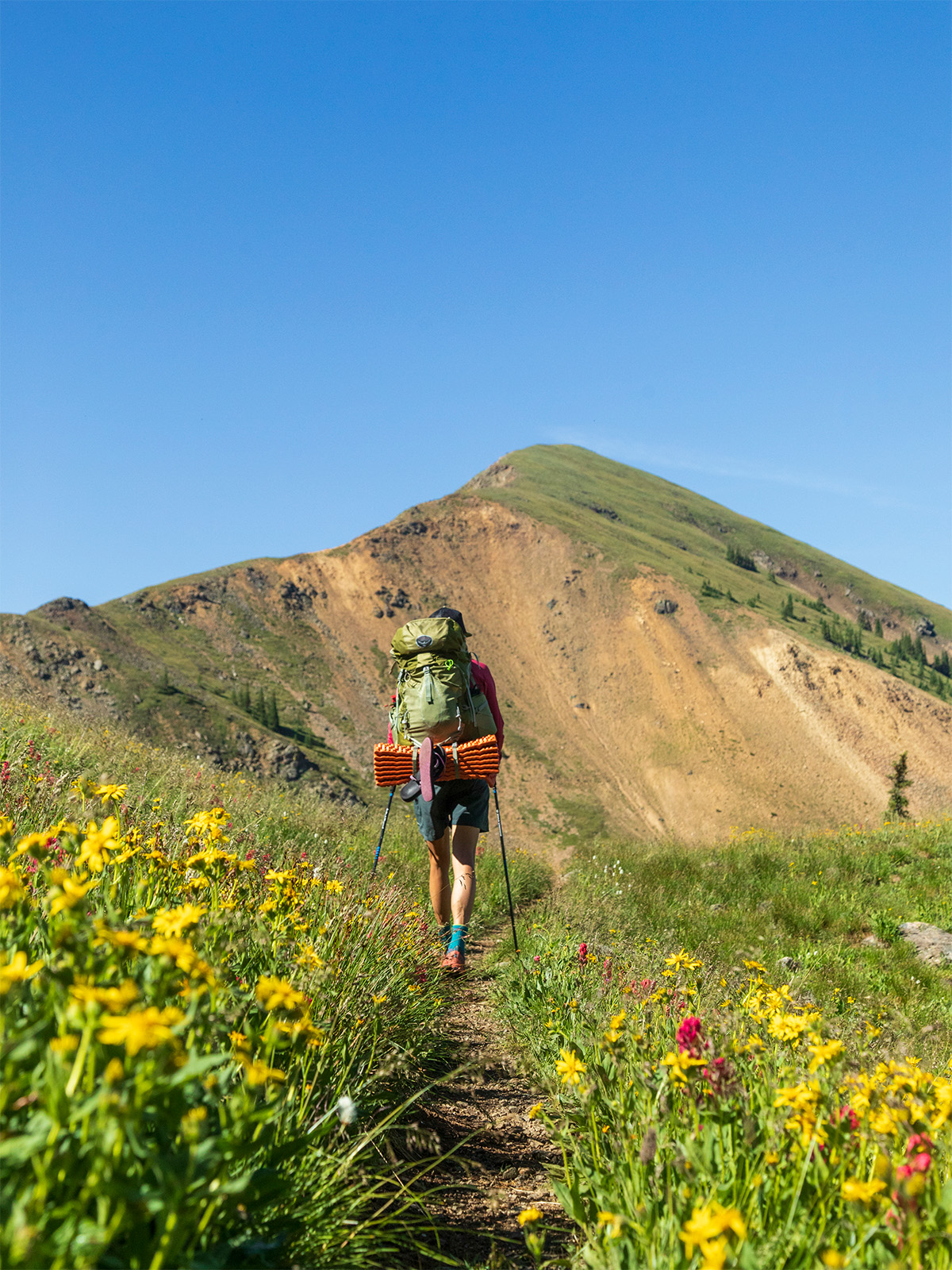
The Never Summers trade Colorado’s usual granite drama for something rarer: lush spruce forests, boggy willow flats, and some of the state’s finest old-growth trees. On this sampler, you’ll still cross the Continental Divide (twice—it’s a loop!) and climb nearly 5,000 feet over 19 miles, but the lasting impression isn’t the skyline; it’s the greenery.
Begin in Rocky Mountain National Park, following the willow-choked wetlands of the Kawuneeche Valley, where moose sightings are frequent and purple columbines bloom well into summer, before turning up Baker Gulch. Ascend through dense spruce and lodgepole woods to camp beside Parika Lake, a windblown tarn tucked into a broad alpine basin, then spend day two rambling above treeline. Cross the divide, from where you can ID the Never Summers’ cloud peaks—twelvers Cumulus, Nimbus, and Stratus—and descend into Bowen Gulch, home to 600-year-old Engelmann spruce. Spend a final night at Bowen Lake, then wander home beneath a cool canopy carpeted with mosses and mushrooms in one of the wettest pockets of the state.
3. Elk Park-Needleton Loop
Weminuche Wilderness
- Distance: 43 miles (8,692 feet of elevation gain)
- Duration: 4–5 days
- Trailhead: Elk Park
- Season: July through September
- Permits: None, though you need to book a round-trip ticket on the Durango & Silverton Narrow Gauge Railroad ($95) and pay for overnight parking at the Durango train depot ($10 per day)
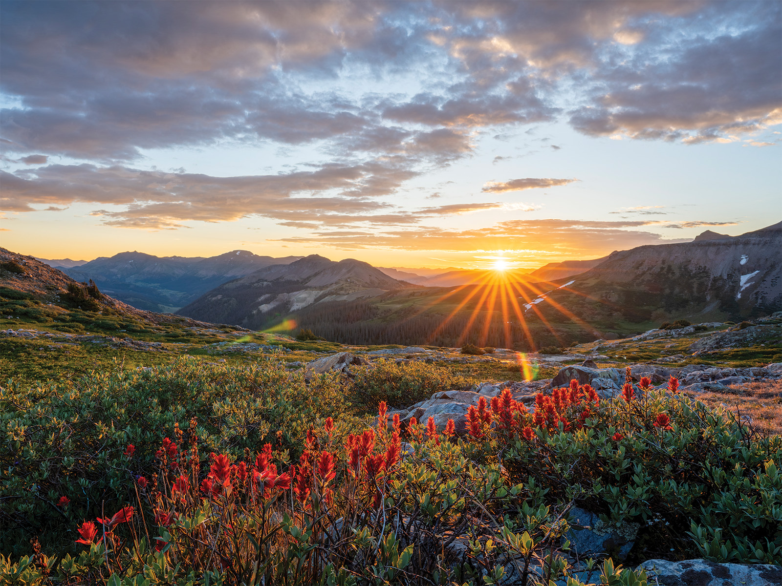
Known for their tangle of cloud-piercing peaks, Caribbean blue lakes, and kaleidoscopic wildflower displays, the San Juans are the holy grail of Colorado backpacking. They’re also intimidatingly vast. Most classic routes demand a week on the trail, and simply reaching the trailhead can feel like an expedition in itself. This 43-mile traverse solves both problems by outsourcing the logistics to the Durango & Silverton Narrow Gauge Railroad, which delivers backpackers straight from downtown Durango to the range’s crown jewel: the Weminuche Wilderness.
Treat the Elk Park-Needleton Loop less like a checklist than a grand tour. Disembark at Elk Park, then wander through dense spruce-fir forests and flower-filled valleys before topping out on the Continental Divide, where miles of alpine tundra link basin after basin beneath Colorado’s wildest skyline. Drop to the headwaters of Vallecito Creek before catching a return train at Needleton, seven miles south of where you started. It’s not technically a loop, but after four days in the state’s most hallowed wilderness, you’ll hardly care.
4. High Lonesome Loop
Indian Peaks Wilderness
- Distance: 15 miles (3,417 feet of elevation gain)
- Duration: 2 days
- Trailhead: Hessie
- Season: July through September
- Permits: Required June 1 through September 15 ($11; reserve online)
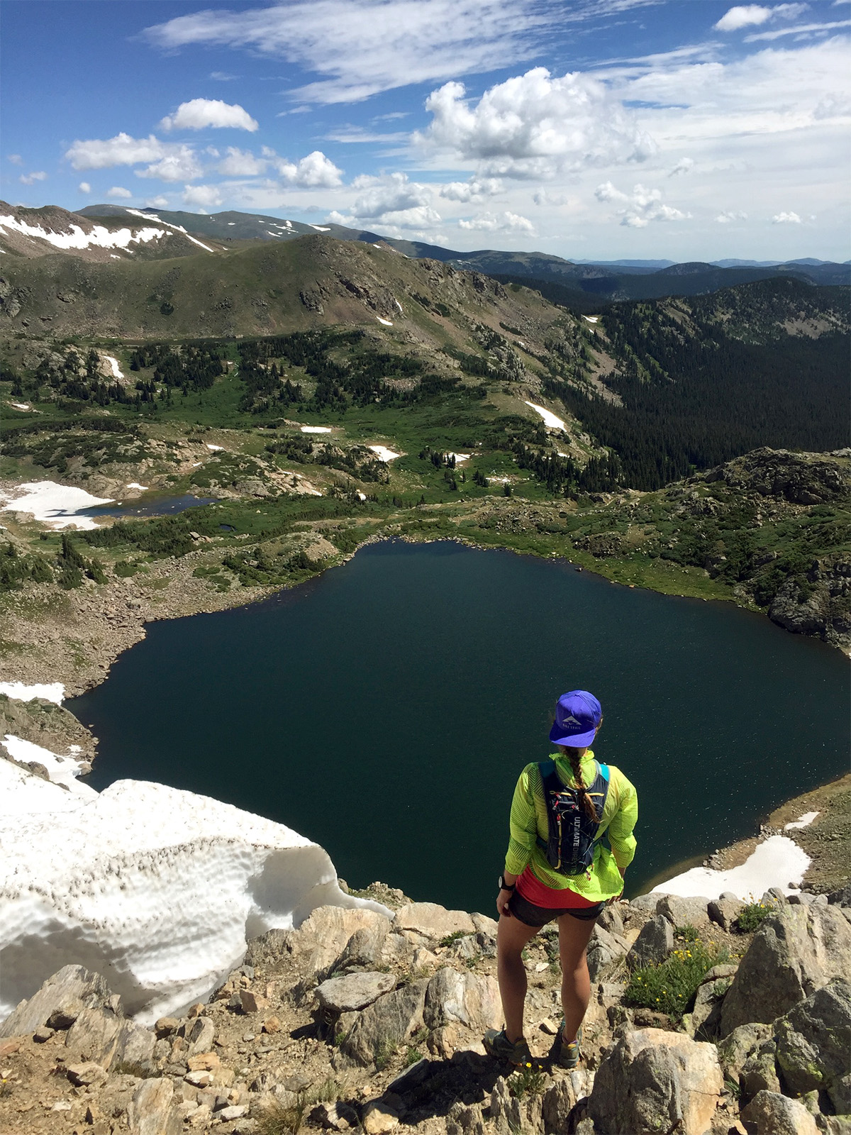
In a wilderness area where summer backpacking permits disappear within minutes of going on sale—in March—Devils Thumb Lake is one of the Indian Peaks’ greatest loopholes. The teal tarn, snugged into a granite cirque at more than 11,000 feet, is surprisingly attainable. At press time, overnight permits were on tap all summer, even on weekends. Perhaps the Boulder Double Bypass steals the attention. Or maybe campers simply overlook what trail runners have known for years: The High Lonesome Loop punches far above its mileage.
Hike it counterclockwise from the “town” of Hessie (you’ll likely need to park along Eldora Road), following the throngs just long enough to reach Jasper Lake before pressing on to Devils Thumb Lake. Pull up to the spruce-shrouded sites along the south shore for tent-door views of the snow-streaked granite ramparts that surge into the horizon. The next morning, after catching the day’s first light painting the cathedral pink, crest the Continental Divide before looping back via the quieter King Lake Trail.
5. Three Pass Loop
Maroon Bells-Snowmass Wilderness
- Distance: 24 miles (6,385 feet of elevation gain)
- Duration: 3 days
- Trailhead: Maroon/Snowmass
- Season: July through September
- Permits: Required for camping at Snowmass Lake ($6 plus $10 per person, per night; reserve online) and Willow Lake (free; self-issue at the trailhead)
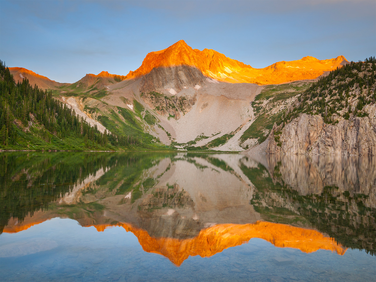
Nothing against the Four Pass Loop—it tops Colorado’s backpacking charts for good reason—but landing a permit can feel as likely as scoring face-value tickets to a sold-out Red Rocks show. To savor that route’s marquee scenery (wildflowers, alpine lakes, cinematic views of the Maroon Bells) without committing to the full circus, stitch together this 24-mile circuit north of the wilderness area’s core permit zone.
The Buckskin-Willow Pass Loop, aka the Three Pass Loop, shares just 3.8 miles (and one alpine pass, Buckskin) with its famous cousin but delivers plenty of oh-wow moments of its own. Begin by following Snowmass Creek south to camp at Snowmass Lake, a stunner at the foot of 14,092-foot Snowmass Mountain and the only spot on this route that requires an advance permit. Day two, link Buckskin and Willow passes on a high-alpine roller coaster with straight-shot views to the Bells before dropping to the tent sites at Willow Lake, a thumbprint-shaped tarn backed by an unnamed striated, brick-red massif that does a decent impression of Pyramid Peak. Complete the loop via the East Snowmass Trail, enjoying long stretches of solitude that are increasingly hard to find elsewhere in the Elk Mountains.
6. Big D-Little D Loop
Dominguez Canyon Wilderness
- Distance: 50 miles (4,394 feet of elevation gain)
- Duration: 4–5 days
- Trailhead: Bridgeport
- Season: September through May
- Permits: None
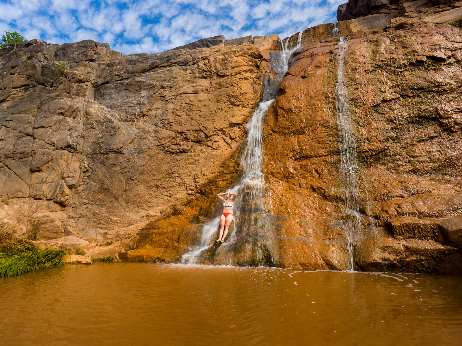
No, this red-rock ramble doesn’t look much like the other backpacking trips on this list. There are no fourteeners, alpine lakes, or permits to fight over. What it offers, though, is something unusual in a state as flush with mountains as ours: a true shoulder-season wilderness adventure. Thanks to its lower elevation and more arid climate on the Western Slope, the Big D-Little D Loop is best tackled in fall and spring, when Colorado’s high country is snowbound.
The roughly 50-mile circuit links Big Dominguez and Little Dominguez canyons via seldom-used footpaths (with a cross-country stretch in between). But hardy navigators can expect sky-kissing sandstone walls, trailside petroglyph panels, natural stone arches, and some of the quietest campsites the state has to offer. (Overnight near miles seven and 18 in Big D and then wherever you find established spots with water access in Little D.) Budget time for side quests: Swimming holes and water slides are among the most rewarding surprises in Big Dominguez Canyon.
Download .gpx data here. (Editor’s note: This trail is not 35 miles. Use this map as reference only.)
Read More: This Remote Colorado Canyon Might Be the State’s Most Underrated Backpacking Trip
7. Twin Crater-Rawah-Camp Lakes Loop
Rawah Wilderness
- Distance: 21 miles (3,898 feet of elevation gain)
- Duration: 3 days
- Trailhead: West Branch
- Season: June through September
- Permits: None
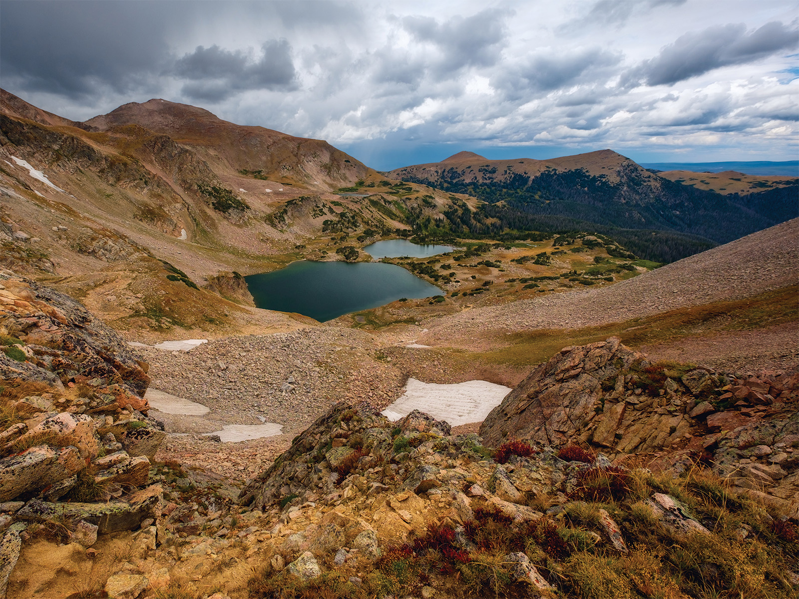
The hardest decision you’ll make in the Rawah is where to stop. This 21-mile circuit strings together a dozen alpine pools, making it easy to tailor your mileage to your mood, the weather, or the fish that happen to be biting that evening. In a state where so many backcountry adventures revolve around permit zones and predetermined campsites, that kind of flexibility is a luxury.
Start at the West Branch trailhead and make for the Twin Crater Lakes, a pair of jewels nestled in a cirque beneath twelvers Dodad Peak and Rawah Pyramid, which bears a distinctive north face. Camp in the shelter of the surrounding spruces, then spend day two grazing a buffet of alpine tarns. Rawah 2 is flanked by yellow arnica, and a snowmelt-fed waterfall plunges into 3. The subalpine Sandbar Lakes conceal some of the route’s best camping. Close the loop past the Camp Lakes with the rare feeling that no matter where you threw down, you chose well.
8. Devils Causeway Loop
Flat Tops Wilderness
- Distance: 11 miles (1,940 feet of elevation gain)
- Duration: 2 days
- Trailhead: Stillwater Reservoir
- Season: July through September
- Permits: Required (free; self-issue at the trailhead)
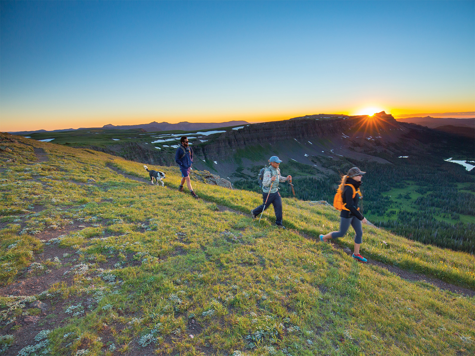
The three-foot-wide Devils Causeway often gets top billing in the Flat Tops Wilderness, a massive, 235,000-acre kingdom of tablelands in northwestern Colorado. Blame the photos of the catwalk, which dances 60 to 80 feet above a conifer forest splotched with aspens for 50 pulse-quickening feet. But there’s more to see here: curvy escarpments, horizon-slicing mesas, and vast valleys that draw moose and elk. Plus, you can pitch your tent wherever you like.
Cross the Devils Causeway near mile 2.5 on a counterclockwise loop, taking caution while peeking up from your boots for a view of the Chinese Wall, a five-mile-long rampart that cleaves the wilderness in two. Stay high on a broad, wind-raked mesa before dropping east onto the Bear River Trail. Set up camp on a shelf overlooking Mosquito Lake and a sea of rocky plateaus and funky formations that seem to stretch all the way to Utah. By morning, the causeway will feel like the appetizer, not the main course.
9. Fancy Pass Loop
Holy Cross Wilderness
- Distance: 9 miles (2,668 feet of elevation gain)
- Duration: 2 days
- Trailhead: Missouri Lakes
- Season: July through September
- Permits: Required (free; self-issue at the trailhead)
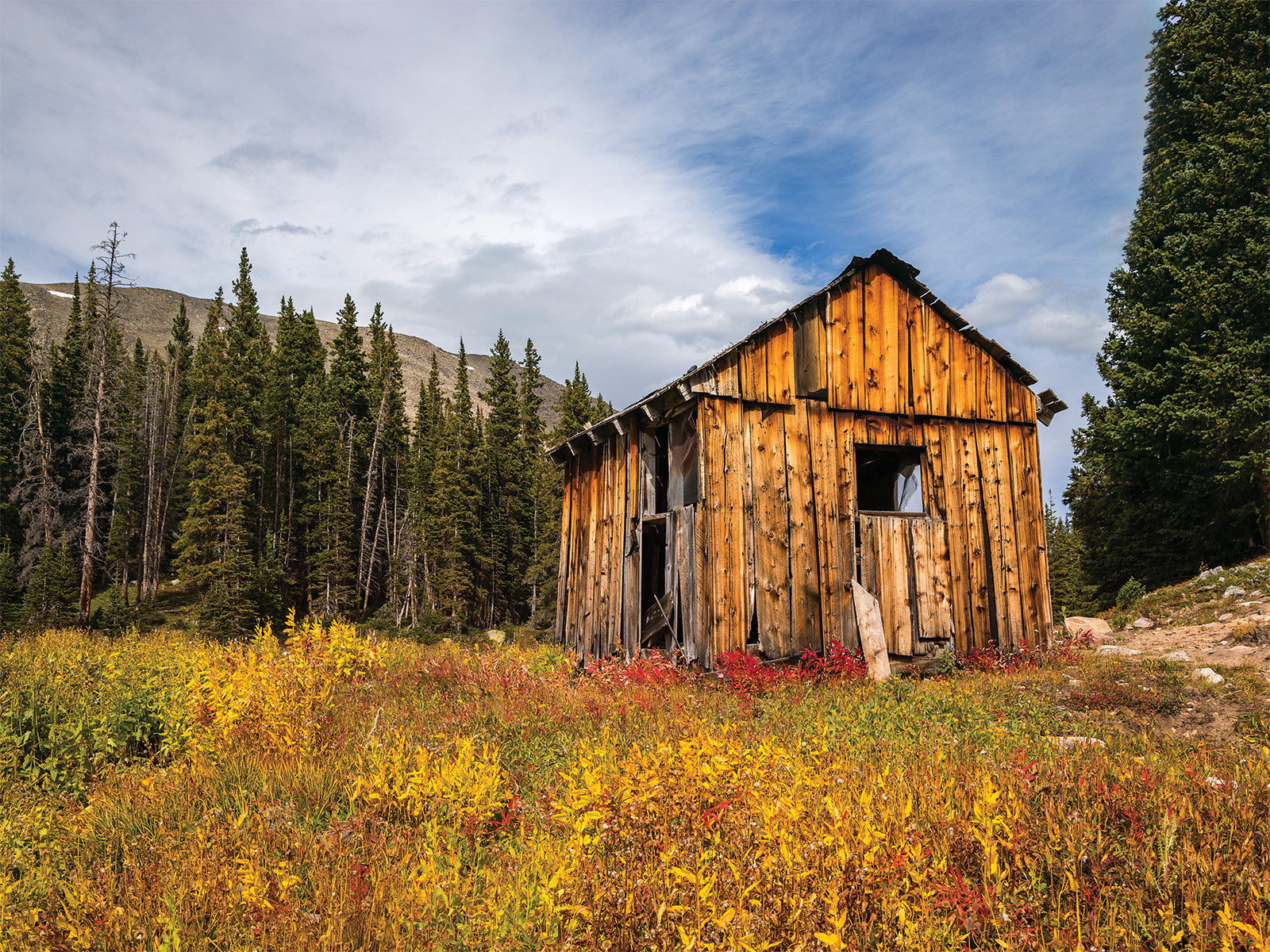
If your main takeaway after reading this feature is that Colorado’s best backpacking requires a long weekend and heroic mileage, Fancy Pass would like a word. At just nine miles, this compact circuit squeezes in two alpine passes, a string of cerulean lakes, meadows bursting with wildflowers, and enough above-treeline drama to embarrass hikes twice its length.
You’ll want the downvalley view from 11,986-foot Missouri Pass, so first head up the Fancy Lake Trail, following a lively creek through a forest thick with Engelmann spruce and subalpine fir. Pitch a tent beside Fancy Lake, an intimate, snowmelt-fed tarn nestled in a pine-fringed cirque with good camping above the eastern shoreline. Next day, make for Fancy Pass and aptly named Treasure Vault Lake, a quick but worthwhile detour, before cresting Missouri Pass. Below, the Missouri Lakes scatter like a handful of blue marbles, turning the final miles into something of a victory lap back to the trailhead.
10. Boulder Double Bypass Loop
Indian Peaks Wilderness
- Distance: 26 miles (6,870 feet of elevation gain)
- Duration: 3 days
- Trailhead: Mitchell Lake
- Season: July through September
- Permits: Required June 1 through September 15 ($11; reserve online), along with a timed-entry reservation and overnight parking pass at Brainard Lake Recreation Area ($18; reserve online)
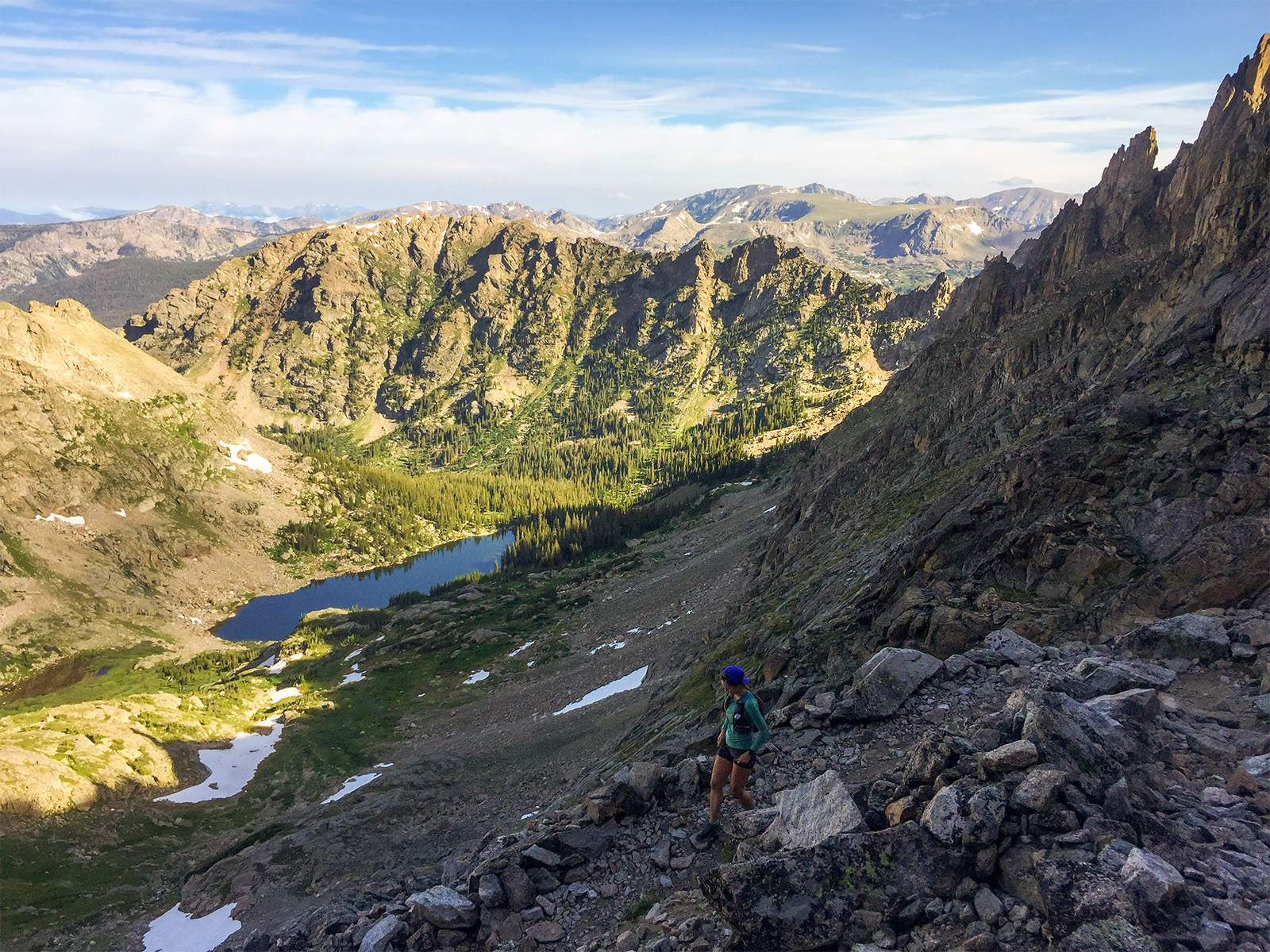
It’s nearly impossible to stitch together a loop across the Continental Divide in Rocky Mountain National Park without committing to a weeklong sufferfest. But south of the park boundary, the shark-toothed Indian Peaks serve up an alluring alternative: the Pawnee-Buchanan Pass Loop, aka the Boulder Double Bypass. The heady circuit racks up nearly 7,000 feet of elevation gain over 26 miles and, at least on paper, allows you to walk from Boulder to Grand County and back in a long weekend.
The price of admission is crossing the Divide twice: first at 11,837-foot Buchanan Pass (mile nine) and then 12,542-foot Pawnee Pass (mile 21), a pair of notches that require as much huffing (and switchbacking) as many fourteeners. Loop counterclockwise for easier camping logistics, dropping off Buchanan to camp in meadowy Fox Park on the first night before circling back along Cascade Creek to pitch a tent near Pawnee Lake, a shallow tarn at the foot of a coronet of granite pinnacles. For the grand finale, ascend Pawnee Pass, the route’s high point, from which the range’s sharpest summits, brightest lakes, and deepest valleys assemble below and, on clear days, Denver glints 40 miles southeast.
Read More: 4 Do-Them-Now Backpacking Trips in the Indian Peaks
3 Classic Colorado Backpacking Trips
Four Pass Loop
- Distance: 27 miles
- Duration: 3–4 days
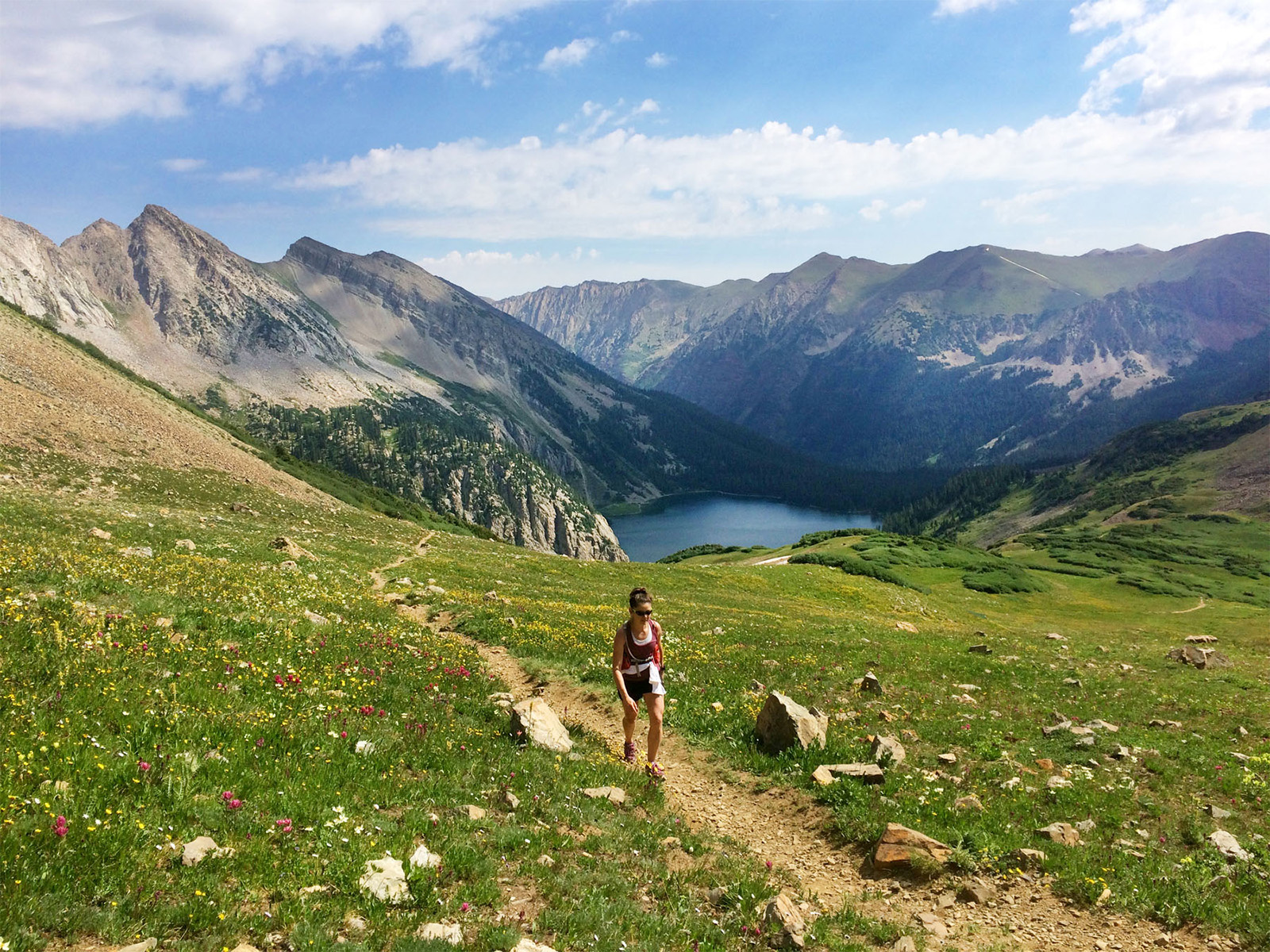
Circumnavigate the Maroon Bells on this camera-roll-filling trip across wildflower meadows, glacial valleys, and, you guessed it, four lung-busting mountain passes. Overnight permits disappear fast, but hikers willing to go midweek and avoid peak-fall-color frenzy stand a better chance of scoring a coveted campsite.
Zirkel Circle
- Distance: 11 miles
- Duration: 2 days
Pack spruce-fir forests, flora-filled meadows, a mountain pass, and a Crater Lake look-alike into a tidy overnight just outside Steamboat Springs. It’s one of Colorado’s most efficient introductions to backpacking: high on scenery, low on mileage.
Collegiate Loop
- Distance: 160 miles
- Duration: 12–18 days
Colorado’s quintessential long backpacking circuit pairs the airy, above-treeline grandeur of the Continental Divide with quiet forests and flower-studded meadows for a two-week immersion in the Rockies.
Colorado Backpacking Safety Tips
Critters
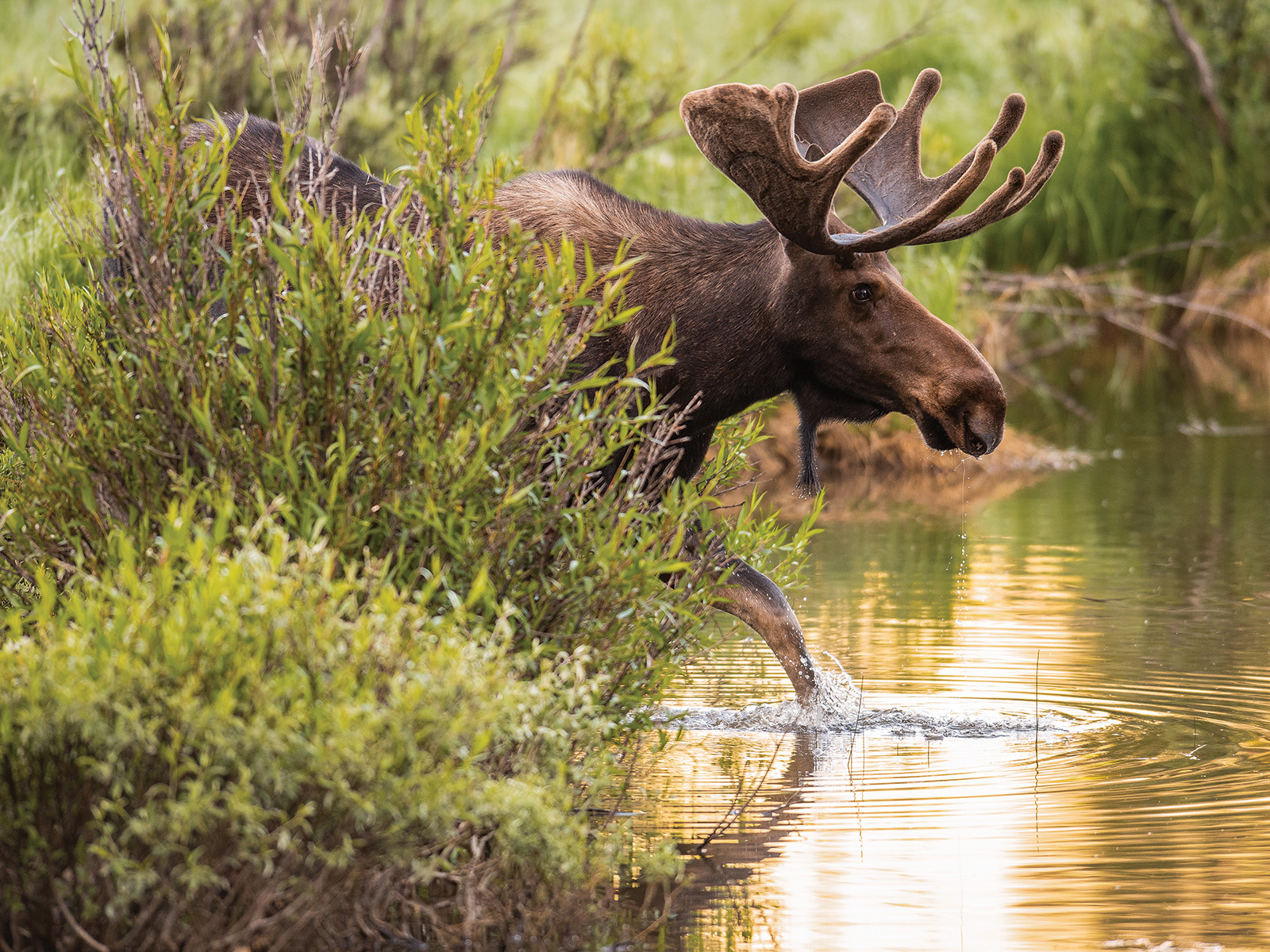
- Make space for moose. They’re responsible for more injuries in Colorado than bears. If a moose pins its ears, raises its hackles, or approaches you, back away.
- Outsmart bears. Store food, trash, and smellables in a bear canister. Cook and eat 100 feet downwind of your camp.
- Don’t trust cute rodents. Marmots—and their equally mischievous cousins, pikas and ground squirrels—will happily chew through trekking pole grips and sweaty backpack straps in search of salt. Keep your gear close.
Read More: How To Fend Off Wild Animals on Colorado Trails
Altitude
- Eat more carbs. Fuel your body with oxygen-efficient carbohydrates, and don’t forget to snack, even if the elevation blunts your appetite.
- Stay hydrated. Dehydration can worsen the symptoms of altitude sickness. Sip water steadily throughout the day, and add electrolytes if you’re sweating heavily.
- Hike high, sleep low. If your itinerary allows, make camp lower than the highest elevation you reached that day to give your body a better shot at recovering overnight.
Weather
- Start early. Plan to be off exposed ridges and summits by noon, when warm air fuels Colorado’s notoriously fast-building thunderstorms.
- Know when to bail. Darkening skies, towering cumulus clouds, or hair standing on end are all signs it’s time to get below timberline.
- Get low. If you’re caught in a storm, descend immediately. Avoid isolated trees and open meadows, and spread your group out so a single strike can’t injure everyone.
Bonus: 3 Awesome Dayhikes Close to Denver
Mt. Sanitas
- Distance: 3.4 miles
- Duration: 2 hours
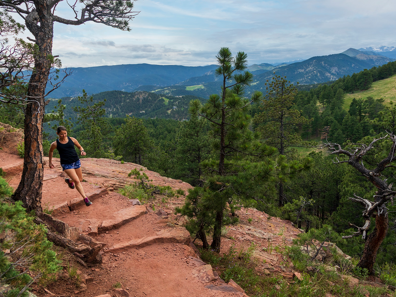
Even in a place as spoiled for close-to-home hikes as Boulder is, Mt. Sanitas stands apart. Climb the Mt. Sanitas Trail, aka the StairMaster, then loop back via the East Ridge and Sanitas Valley trails. The reward is a summit panorama that sweeps from Fort Collins to Pikes Peak—proof that you don’t need to drive deep into the backcountry for the biggest view.
Mt. Galbraith
- Distance: 4.2 miles
- Duration: 3 hours
See the many faces of Golden’s Mt. Galbraith on a peak-circling 1.6-mile loop, accessed via Cedar Gulch. Track through fragrant ponderosa, fir, and spruce woods and open hillsides between rocky perches overlooking town, Clear Creek Canyon, and the snowcapped spine of the Continental Divide.
Rattlesnake Gulch
- Distance: 3.6 miles
- Duration: 2 hours
Few Front Range hikes reward curiosity quite like Rattlesnake Gulch in Eldorado Canyon State Park ($10 entry fee, plus a reservation on weekends). Climb through ponderosas to the ruins of the Crags Hotel, then linger along the loop, where the canyon unfurls in a maze of golden sandstone buttresses that have drawn climbers for generations.
Read More: The 50 Best Hikes in Colorado